Flood Event Modeling Program
Flood monitoring for safer communities
Project Facts
| Location | Harris County, Texas |
| Owner | Harris County Flood Control District |
Overview
An innovative flood event modeling initiative harnesses existing technology to deliver advanced computer software for web-based flood monitoring. The final product enhances current models, assesses flood management facilities, and aids local agencies during flood alert operations.
Services
About the Project
Our flood event modeling program created a system that utilizes existing technology to provide a state-of-the-art computer software package to monitor flooding in real time. Using available technology, the team developed this package as a web-based intranet tool that can be utilized as a planning and information resource. The goals were to understand better the ability of current hydrologic and hydraulic models to reflect observed flooding conditions to provide information for improving model effectiveness, provide real-time and post-event evaluations of the effectiveness of county flood management facilities to reduce flooding, and support existing local agency staff during flood alert operations.
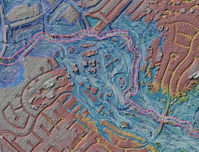
The design team constructed the computer-based system to take radar-based rainfall estimates and import them into an HEC-HMS hydrologic model for a watershed. The output data is then put into an HEC-RAS (unsteady) hydraulic model for the stream system, which is fed into ArcGIS to produce the inundation maps in real-time. Since one system component runs in HEC-RAS, additional data, such as profiles and hydrographs at various points along the stream system, are available to the user as the event occurs.


