Projects

Filter by:

View

Sky view of Walmart's home office campus in Bentonville, Arkansas.

Walmart Home Office

Commercial

An aerial shot of a four-way stop, where widened bicycle lanes are brightly denoted and sidewalks feature smooth pavement with ADA compliant on and off ramps.

31st Street Improvements

Public Works
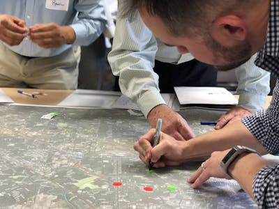
Members of the mobility plan team working on mapping the area.

Southeast Houston Mobility Plan

Transportation

An aerial view of Interstate Highway 69, showing the busy roadway ferrying motorists through an area teaming with industrial buildings.

IH 69 Planning Environmental Linkage Study

Transportation
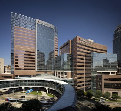
The Texas Children’s Hospital was expanded.

Texas Children's Hospital Tower E Expansion

Healthcare

You can see all of Houston’s downtown from the air.

IH 45 at Broadway Schematic Design

Transportation
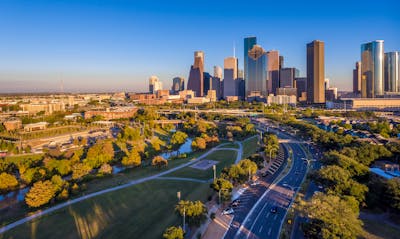
T031201900 2 N121 large

Allen Parkway Realignment and Intersection Improvements

Mobility

North Indiana Avenue has a bridge over a creek.

North Indiana Roadway Improvements

Public Works

The corner of a four-way stop street corner of Bagby showing a clean urban district with a multi-use building, ample parking, pedestrian walkways and young trees.

Bagby Streetscape and Paving Improvements

Mobility

A lake with a pedestrian bridge in front of several buildings in the Springwoods Village community in Spring, Texas.

Springwoods Village Master Plan and Community Development

Mixed Use & Retail
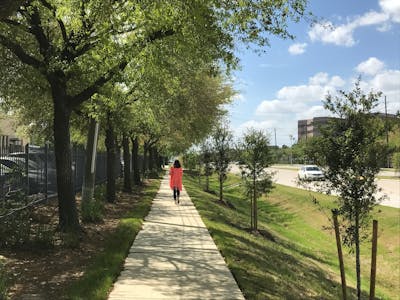
Strong pillars support the bridge.

Brays Bayou TECO Improvements

Public Works

The sidewalk by Almeda Road is a great place to walk.

Almeda Road Widening and Reconstruction

Transportation

Map of the University of Houston campus with marked parking garages.

University of Houston Transportation Management Plan

Education

A diverse group of people look over a map of their community. A man in an orange button-down shirt appears addresses the group, while a man in a white polo shirt reaches for a collection of markers sitting on the table where the map is laid out.

H-GAC Pedestrian and Bicycle Study

Transportation

An aerial view of downtown El Paso, showing the traffic and densely populated city along the US-Mexican border.

Border Highway West Loop 375 Toll Road Bridges

Transportation
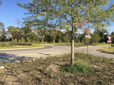
The modern roundabout on Energy Drive helps control traffic flow.

Energy Drive at Springwoods Village

Public Works
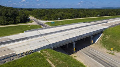
From the skywalk, you can see Bertner Avenue.

Bertner Avenue Extension

Healthcare

Bridge 65.94 is part of the Indian Nation Turnpike.

Indian Nation Turnpike Bridge No. 65.94 Rehabilitation

Transportation